uMuziwabantu Local Municipality
- +27 33 433 3500
- Murchison Street, Harding
- 039 433 1208
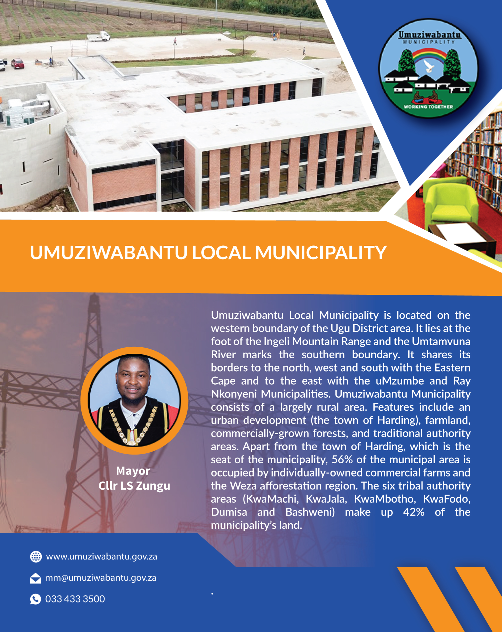
About Us: Umuziwabantu Local Municipality is located on the western boundary of the Ugu District area. It lies at the foot of the Ingeli Mountain Range and the Umtamvuna River marks the southern boundary. It shares its borders to the north, west and south with the Eastern Cape and to the east with the uMzumbe and Ray Nkonyeni Municipalities. Umuziwabantu Municipality consists of a largely rural area. Features include an urban development (the town of Harding), farmland, commercially-grown forests, and traditional authority areas. Apart from the town of Harding, which is the seat of the municipality, 56% of the municipal area is occupied by individually-owned commercial farms and the Weza afforestation region. The six tribal authority areas (KwaMachi, KwaJala, KwaMbotho, KwaFodo, Dumisa and Bashweni) make up 42% of the municipality's land.
View Advert (click below to view)

.gif)
.jpg)
.jpg)